The Water, at Print Size
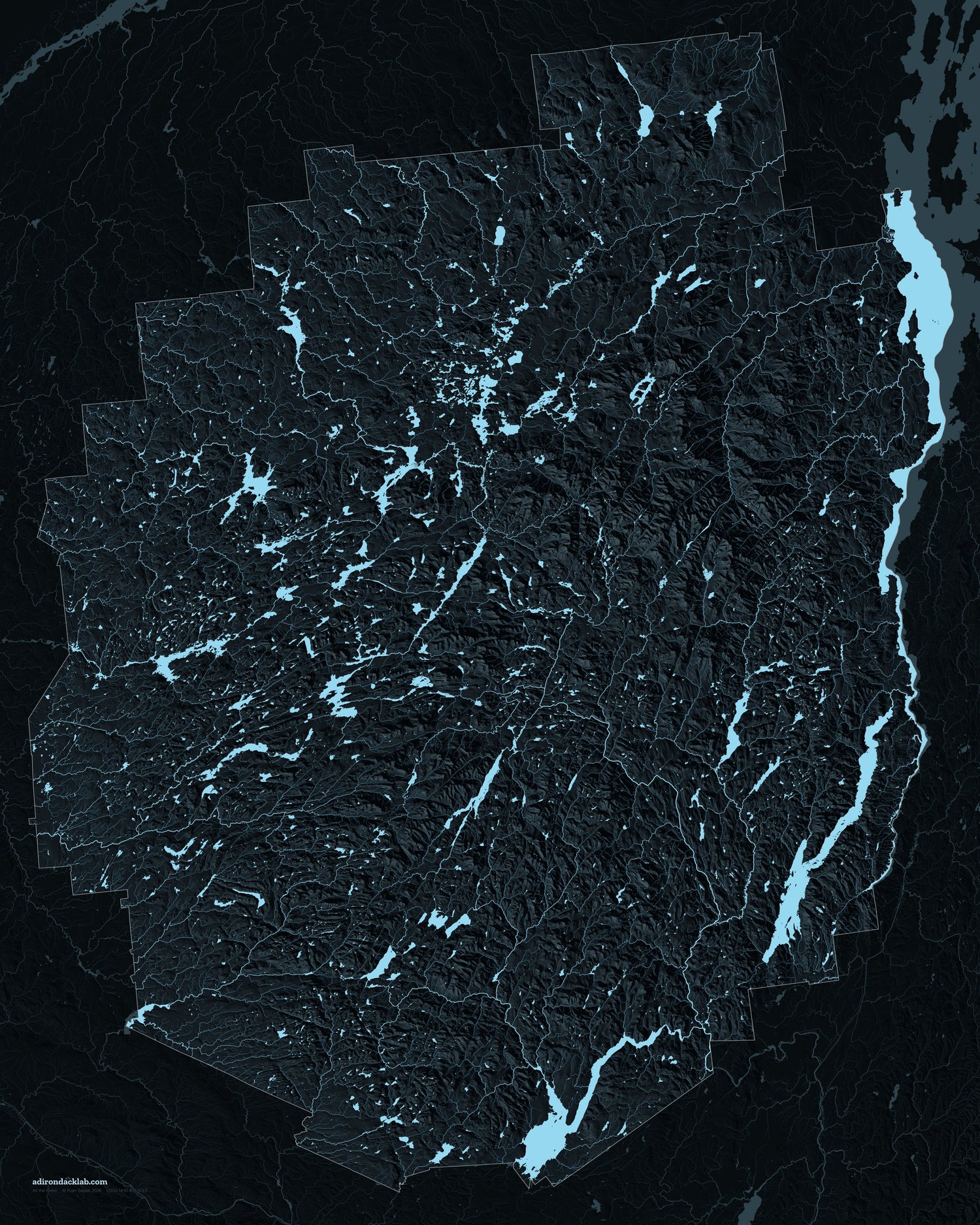

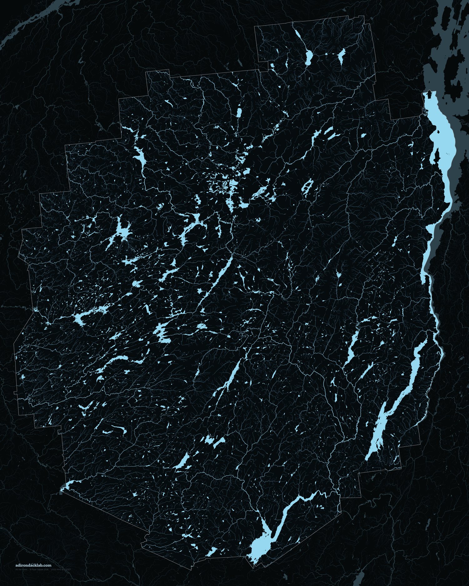

Every lake, pond, river and stream inside the Blue Line, drawn large enough to hang. Free, both of them, at full resolution.
7,200 × 9,000 pixels at 300 DPI, which is 24 × 30 inches on paper. Print smaller and it only gets sharper.
What you are looking at
11,212 lakes and ponds, 13,459 miles of river and stream, 359,033 acres of open water. Every stream is drawn as wide as the water above it: USGS leaves stream order blank for most of New York, so the drainage network was rebuilt by snapping 48,794 flowlines end to end and accumulating length downhill from the headwaters. By the time the Hudson leaves the park it has 4,889 miles of channel behind it.
The thin line is the Blue Line, the boundary of the park itself. Water beyond it is drawn at a quarter strength, which is why the Vermont shore of Lake Champlain is there at all: New York's hydrography stops down the middle of the lake, and a half-drawn lake looked wrong.
Printing. Any decent lab will take these as they are. On a dark sheet like this, ask for a matte or satin paper rather than gloss, and expect the faintest headwater brooks to sit close to the paper black.
Water: USGS National Hydrography Dataset, best resolution. Relief: USGS 3DEP. Park boundary: NYS DEC. Made by Ryan Sajdak, 2026. Free to print and hang; if it ends up on your wall, a coffee is always welcome.