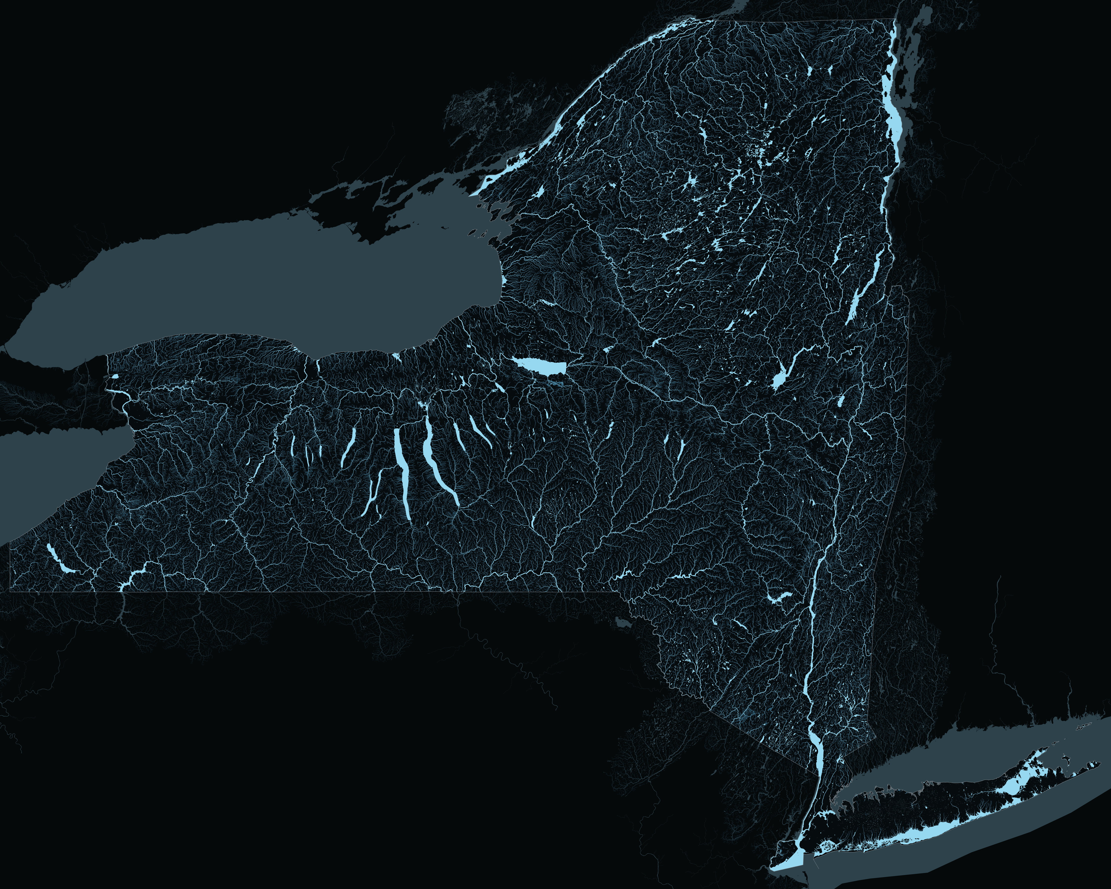
Every stream is drawn as wide as the water above it. NHD leaves stream order blank for four fifths of New York, so the network was rebuilt here by snapping 448,195 flowlines end to end and accumulating length downhill from the headwaters. By the time the Hudson reaches the harbour it has 24,832 miles of channel behind it.
A name appears once there is room to write it. Statewide only the largest fit, and every zoom lets in the next rank down, until at close range everything named is named. A river repeats its name along its length, the way a paper map does, and a pond keeps its own until the label would be wider than the pond.
New York has 71 separate Mud Ponds, 35 Mill Creeks and 32 Black Creeks — 3,200 of these waters share a name with another. Each is its own place here, grouped by what it connects to rather than by what it is called, so a search for one of them offers you all of them.