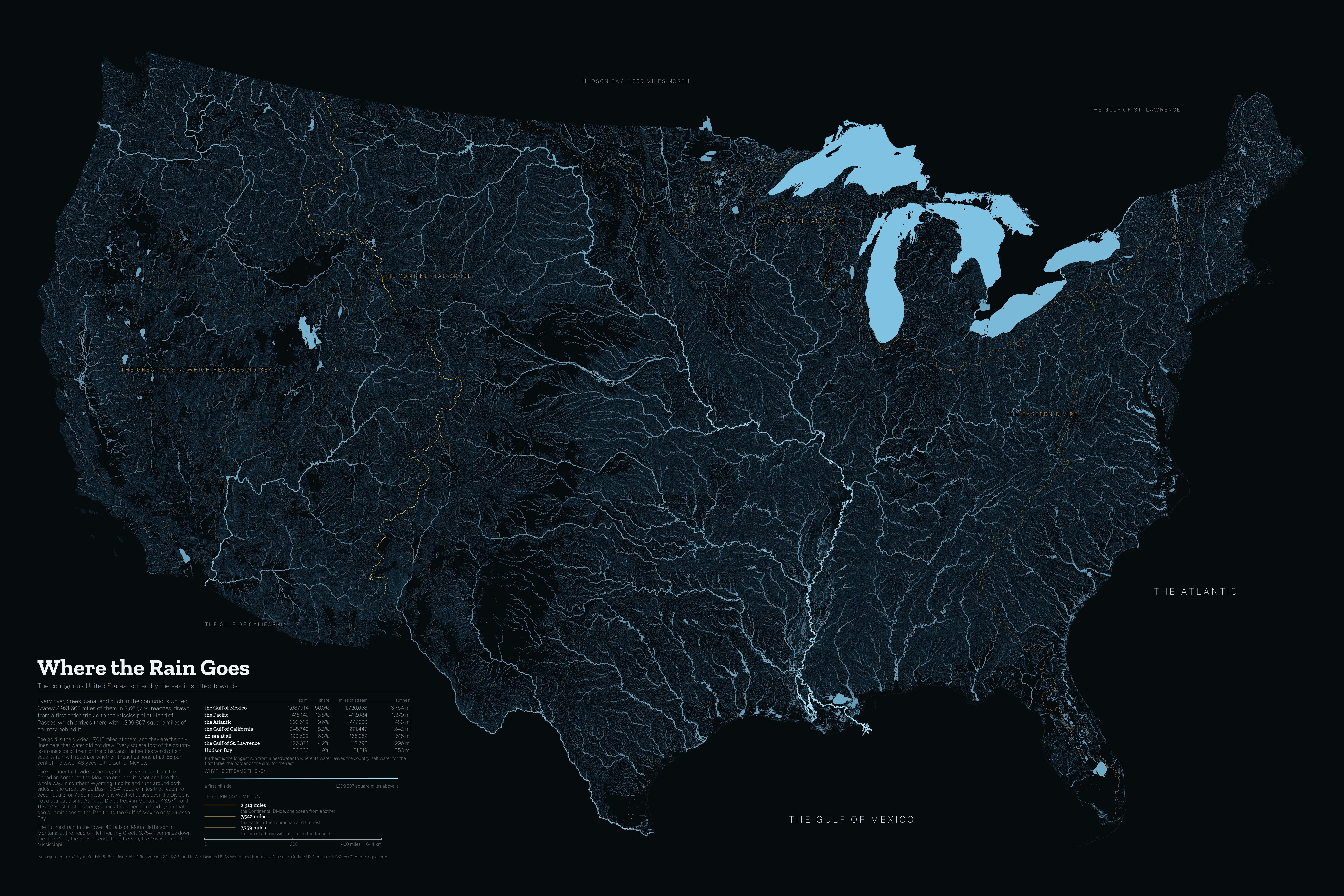
| sq mi | share | stream mi | |
|---|---|---|---|
| the Gulf of Mexico | 1,687,714 | 56.0% | 1,720,058 |
| the Pacific | 416,142 | 13.8% | 413,084 |
| the Atlantic | 290,629 | 9.6% | 277,000 |
| the Gulf of California | 245,740 | 8.2% | 271,447 |
| no sea at all | 190,509 | 6.3% | 166,062 |
| the Gulf of St. Lawrence | 126,374 | 4.2% | 112,793 |
| Hudson Bay | 56,036 | 1.9% | 31,219 |
This is the one map on this site that is not in Web Mercator. At 25° north Mercator stretches a mile by 10%; at 49° it stretches the same mile by 53%, and a map about how much country drains where cannot afford that. It is drawn in Albers, and so is the tile pyramid, so every square inch on your screen is the same number of square miles as every other one, at every zoom. There is no basemap under it.